
Our Equipment
-

DJI Matrice 4T
The DJI Matrice 4T is a cutting-edge advanced thermal-capable drone designed and optimized for efficient solar panel inspections.
Critical for high quality solar inspections, it features a thermal camera with a 640x512 sensor, enabling us to conduct precise thermal inspections and monitor temperature variations effectively.
In addition, it is equipped with a high resolution RGB which allows us to capture thousands of pictures of your solar site and assemble them into a single image orthomosaic map of the site where anomalies detected from the thermal inspection can quickly be referenced.
-

DJI Matrice 4E
The DJI Matrice 4E is an efficient and extremely powerful drone designed for highly precise and accurate aerial surveying and mapping applications.
Equipped with advanced imaging technology, it supports multiple payloads, making it suitable for various surveying tasks, including topographic mapping, and land assessment.
When the onboard RTK capabilities of the Matrice 4E are combined with the RTK-3 GNSS base station, the resulting orthomosiacs, contour maps, 3D models, etc. deliver survey-grade accuracy within ± 1-2cm.
-
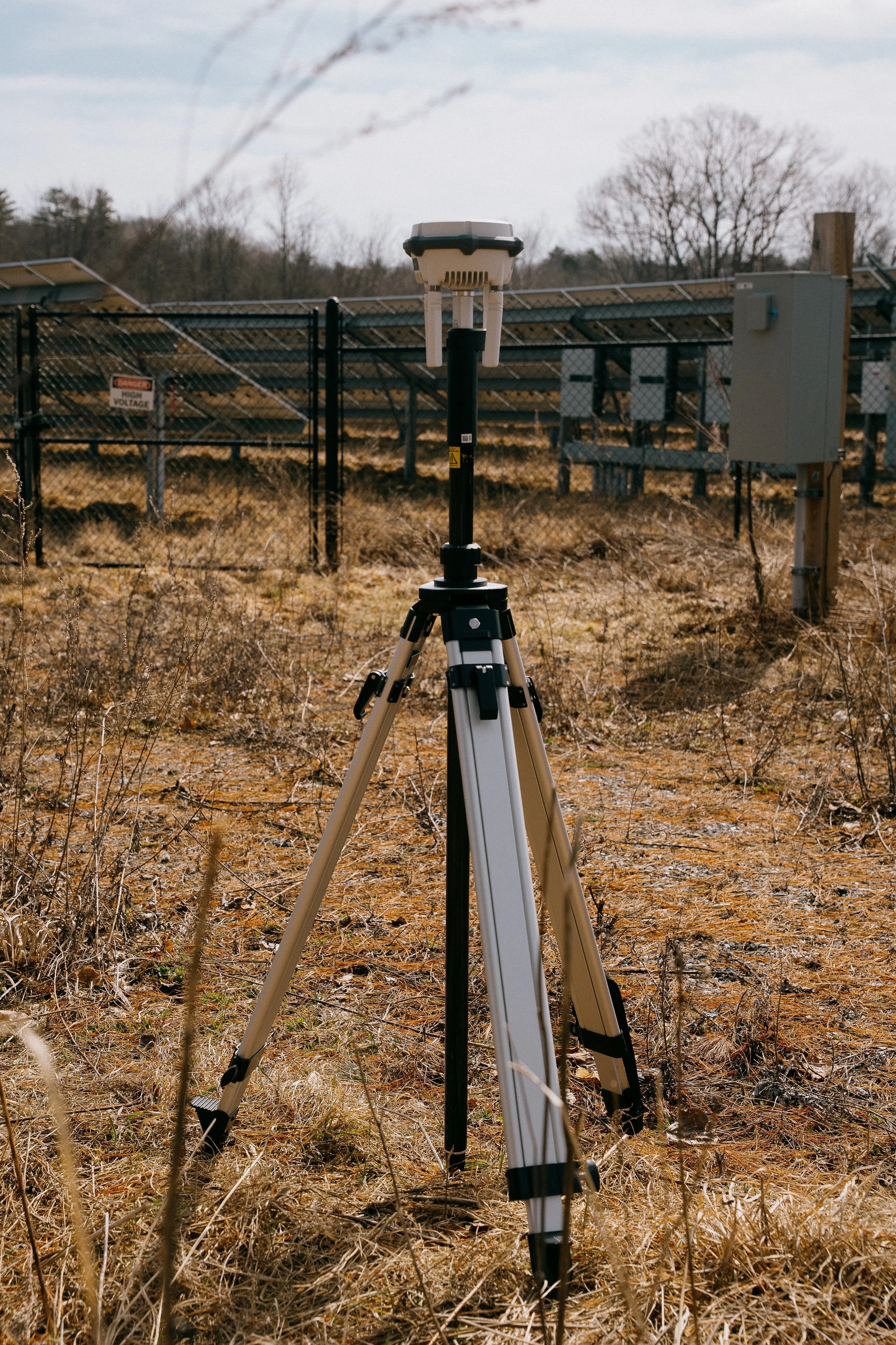
DJI RTK-3 Base Station
Often overlooked by many commercial drone pilots performing solar inspections, GNSS positioning to the cm level allows for precise identification and mapping of solar cell anomalies discovered during an inspection.
The RTK-3 Base Station is a critical tool designed to enhance the accuracy of drone operations through real-time kinematic positioning.
By utilizing advanced satellite signals, the RTK-3 provides centimeter-level precision, which is crucial for post-processing analysis and delivering actionable insights from solar asset inspections.
-

DJI Manifold 3
The DJI Manifold 3 is a high-performance onboard computing module designed for DJI enterprise drones that extends what the aircraft can do by adding powerful, edge-level processing directly on the drone itself.
When Manifold 3 is mounted on the Matrice 4E, it unlocks an advanced capability often referred to as Smart 3D Explore. Instead of pre-planning a detailed photogrammetry mission back in the office, the system lets the drone build a rough 3D model of the environment in real time as it flies.
In essence, Manifold 3’s onboard processing transforms the Matrice 4E from a drone that simply follows a pre-set grid into one that sees, models, and plans dynamically during flight, making complex 3D mapping missions possible.
-
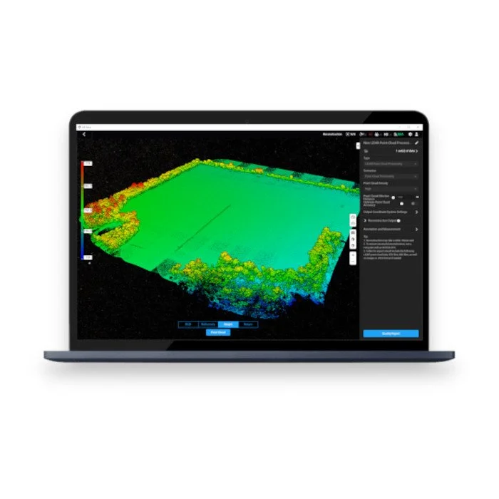
DJI Terra
DJI Terra is mapping and 3D reconstruction software developed by DJI that transforms drone-captured imagery into accurate digital maps and models. It enables users to plan automated drone flights, capture high-quality aerial data, and process that data into outputs such as orthomosaic maps, 3D models, point clouds, and elevation models.
The software also provides measurement and analysis tools for calculating distances, areas, and volumes, making it valuable for industries like construction, surveying, and energy and utilities.
By converting aerial imagery into detailed geospatial information, DJI Terra helps organizations make informed decisions based on precise, real-world data represented as 2D/3D orthophotos, DEMs, point clouds and meshes.
-
DJI Modify
DJI Modify is DJI’s intelligent 3D model editing software that works alongside DJI Terra to refine and optimize the 3D models generated from drone imagery. After Terra processes aerial photos into textured 3D meshes, point clouds, and surface models, DJI Modify allows users to clean, repair, and enhance those models for professional use.
The refined models can then be exported for use in CAD, BIM, GIS, simulation, or visualization workflows.
Together, DJI Terra and DJI Modify create an end-to-end workflow: Terra captures and reconstructs real-world environments into accurate digital models, and Modify polishes those models so they are clean, precise, and ready for engineering, construction, inspection, or planning applications.